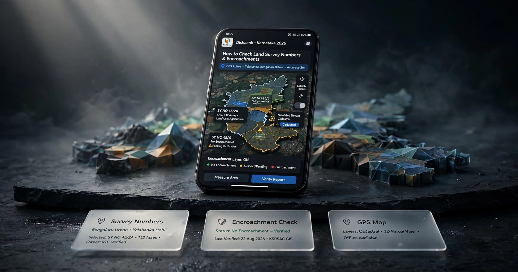
Purchasing a residential plot, villa, or apartment in Karnataka requires verifying that the physical land beneath your feet matches official revenue maps. Using the dishaank app karnataka land survey 2026 platform gives buyers instant access to digitized revenue survey maps directly on their smartphones.
Developed by the Karnataka State Remote Sensing Applications Centre (KSRSAC) and the Survey Settlement and Land Records (SSLR) department, Dishaank functions as a spatial GIS viewer for over 30,000 revenue villages across Karnataka.
By turning your smartphone's GPS into an on-ground cadastral scanner, Dishaank allows you to stand on any property and immediately see its official survey number, sub-division (Hissa) boundary, and whether the land encroaches on storm water drains (Rajakaluve), lake beds, or government reservations. Here is an operational guide to using Dishaank for land due diligence.