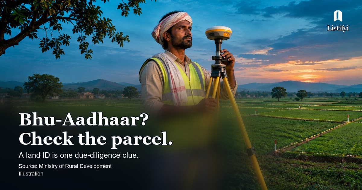
A unique land number is useful, but it is only one part of verification
The Ministry of Rural Development’s DILRMP 3.0 announcement describes Bhu-Aadhaar, also called the Unique Land Parcel Identification Number (ULPIN), as a 14-digit identifier for land parcels. The wider programme aims to connect georeferenced maps, Records of Rights, registrations and relevant court information through state-level land systems.
For someone buying land, the useful question is practical: If a parcel has a ULPIN, what can I safely conclude from it?
Quick answer: A ULPIN is designed to identify a land parcel consistently across records. It is not, by itself, a certificate that the seller owns the land, that the parcel has no dispute, or that the intended use is approved. Match the identifier with the current state land record, map, deed, encumbrance history and applicable permissions.
Parcel identity and ownership are different questions
A map helps identify which piece of land is being discussed. A title search addresses who can lawfully transfer it. A planning or land-use check addresses what can be built or done there. These questions overlap, but one answer does not settle the others.
Suppose a seller shows a 14-digit parcel ID and a screenshot of a map. That is a reason to request the official corresponding record, not a reason to skip the deed chain. Compare the survey or plot number, recorded area and boundaries with the sale deed and site measurements. If the parcel was subdivided, merged or partly acquired, ask how the current identifier relates to the older documents.
The Ministry’s announcement describes phased implementation through state and union-territory systems. Availability and the way a citizen can look up an ID can differ by jurisdiction. A missing field on one online record does not prove that the land does not exist or that the transaction is invalid.